Estuaries and shallow coastal waters are among the most productive habitats on earth, yet consistent and comprehensive baseline environmental data is generally lacking for these areas. Almost two-thirds of the world’s population lives in coastal areas, and it is estimated that 75% of the US population will do so in the next 25 years. An important data set is the soil / sediment type in the subaqueous and coastal area connecting the upland with the deep water environment (Payne, 2011).
Research efforts by soil scientists in Maryland have demonstrated that shallow water sediments undergo pedogenic processes and are systematically distributed across the subaqueous landscape (Demas and Rabenhorst, 2001). Over the past 10 years, NRCS soil scientists have shown that these areas can be inventoried using procedures established by the National Cooperative Soil Survey. NOAA’s Coastal and Marine Ecological Classification Standard (CMECS) has adopted the NCSS nomenclature for classifying the sub-benthic environment, and this system is currently in review by the Federal Geographic Data Committee as a national standard.
A Barnegat Bay subaqueous soil survey map provides information on the depth, slope, physical and chemical properties of the sediments, useful for aquatic vegetation restoration, shellfish habitat, dredge management, carbon storage capability, and other applications.
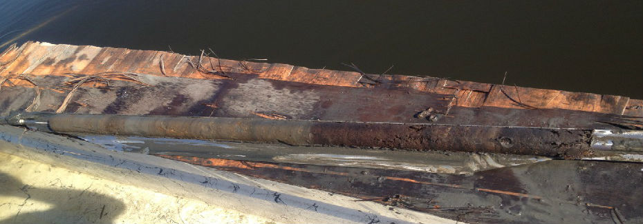
Field Notes (Download Field Notes Zip File) and pedon descriptions were collected at particular locations (Download Locations Zip File) throughout Barnegat Bay to document the differing soil types and landforms.
A soil map unit legend was developed using the field documentation and soil types. Enter any soil series in the legend into the Series Extent Explorer application to quickly display and compare the approximate geographic distribution of up to five soil series.
All soils and observations are classified using the 2014 Twelfth Edition Keys to Soil Taxonomy (USDA-NRCS).
A soil survey database (NASIS) was built using the bay field note documentation and laboratory analysis to support publication of the soil survey.
“Underwater Soils”
UnderwaterSoilsCSANewsarticle2015Published in the January 2014 Issue of CSA News as the feature article – Download PDF
General Subaqueous Soils Map
BBSoilsFinalBarnegat Bay Partnership News – NRCS has prepared a general subaqueous soils map for the northern and central portions of Barnegat Barnegat Bay. – Download PDF
Barnegat Bay Subaqueous Soil Survey Now Available Online!
The Barnegat Bay Subaqueous Soil Survey, is now available on the Web Soil Survey (WSS), the web-based database managed by USDA’s Natural Resources Conservation Service (NRCS). The Soil Web houses all NRCS soils data that works side-by-side with the Web Soil Survey. “The addition of this unique soils inventory of the Bay’s estuary and coastal lagoon to the Ocean County Soil Survey expands the utility of the online resource and has the potential to help improve the health of the estuary, enhancing the bay for future generations (NRCS 2016).”
To read the press release of The Subaqueous Survey of Barnegat Bay follow the link below:
Subaqueous Survey of Barnegat Bay